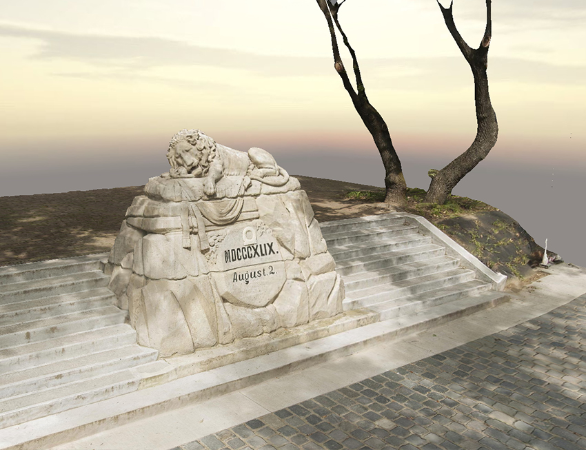
3D model and orthophoto
We use Bentley ContextCaptue software to create surface models from our high-resolution ground and aerial imagery. If required, we can also refine the photogrammetric processing with a 3D point cloud created by laser scanning. Based on the surface models, we produce orthophotos of terrain surfaces and building facades. The 3D surface models and orthophotos can be used in a variety of design and construction tasks and are widely used. 3D surface models can also be published on the web.