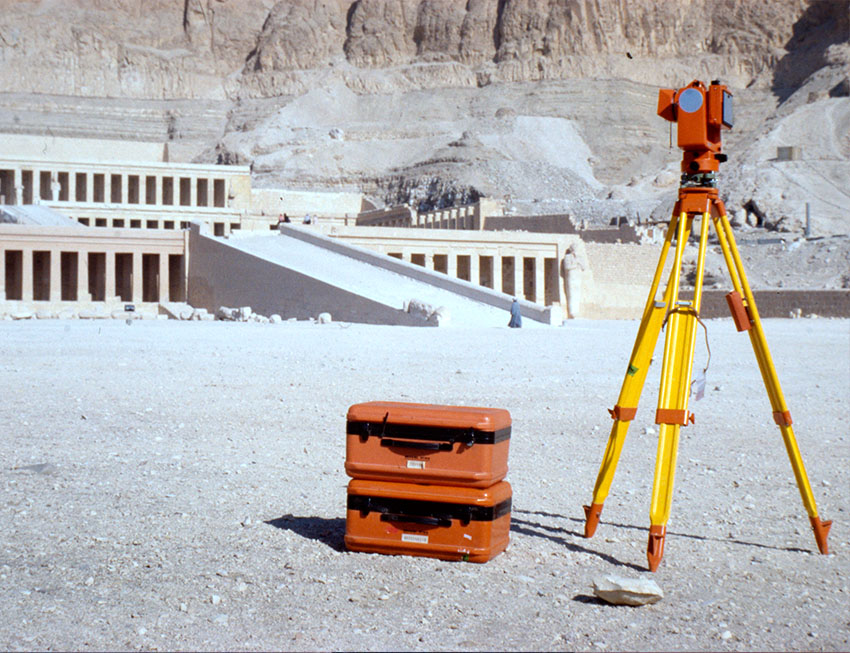
Our company, Erda Ltd. was founded in February 2000. Our legal predecessor Erda Bt. was established in 1992 and was dissolved with the registration of the Ltd. Our activities include the development of geographic information services. In addition to our main activities, we also offer map digitization, architectural façade surveys, archaeological documentation, IT consulting and other software development work. For more than two decades we have been developing modular geospatial solutions. Our clientele ranges from UNESCO to national municipalities and utility companies, for whom we have developed appropriate and cost-effective solutions.
Learn More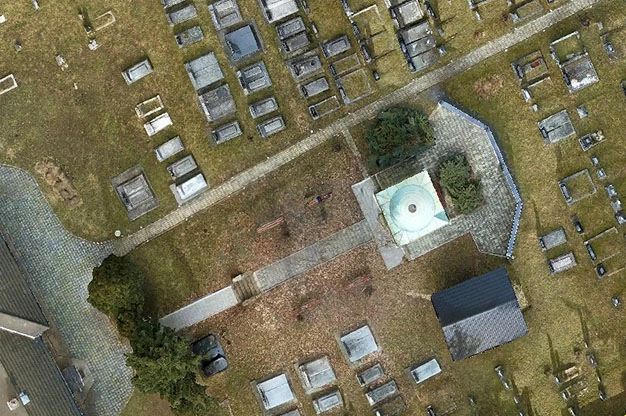
"Dr. Andrea Tóth, President of the Jewish Community of Salgótarján, first agreed only that
György Csáki, the managing director of ERDA Kft., that the company's employees - for the purpose of
digital archiving
- to photograph the gravestones in the Jewish cemetery in Salgótarján. But ERDA Ltd. had an
extraordinary surprise
as a voluntary donation, the company created an orthophoto map of the cemetery, a 3D model and a
digital register of the graves."
The whole article is available in Hungarian
at this link.
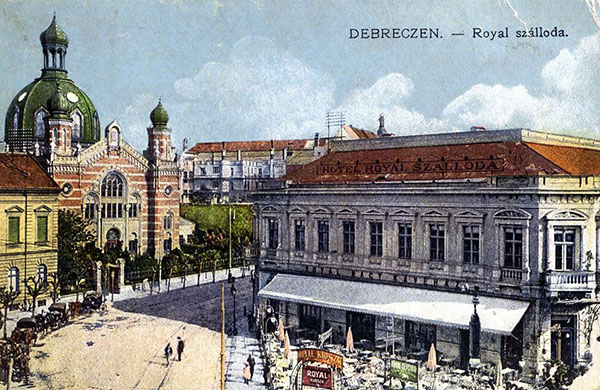
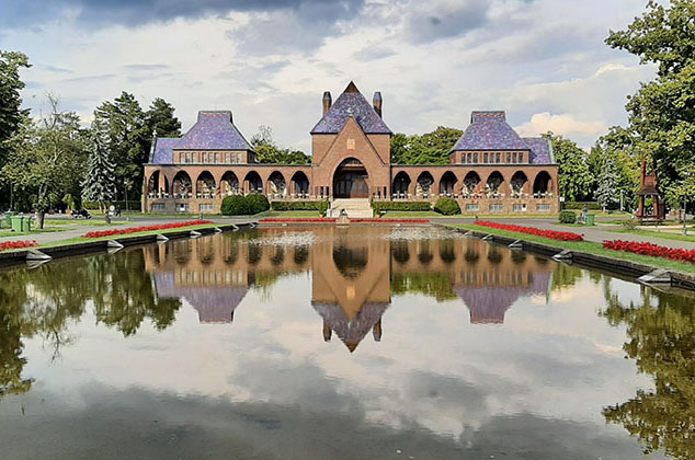
Cívis GIStory explores the historical sites of Debrecen, exploring a century and a half of digitised maps of a century. The integrated and expandable database allows you to explore the history of the city on different time scales, even with overlaps the historical spatial structures of the city, the changes that have taken place, individual thematic historical descriptions.
Open
Shots of interesting places taken with Pentax equipment and a Samsung Galaxy 10 mobile phone.
Important experiences are gained during the photo shoots and panorama calculations.
The geographic information system, which works both on the web and on mobile applications, is the Nagyerdei Köztemető in Debrecen graves of the Debrecen Memorial Cemetery, individual and group queries, map and and on-site exploration. The national and commemorative gravesites are integrated into the digital map-based system, public and notable graves, as well as data and images of war graves.
OpenYou can find our work in many locations in Hungary.
The Debrecen Militárium would not have been possible without the professionalism and commitment of Erda Kft. and commitment. The unprecedented and expandable repository of Hungarian war memorials is thanks to them. Congratulations for your professional, fast and authentic work! And thank you for your dedication!
In the last few years, since we have been using this Geographic Information System, we have been very very satisfied. We have had many people tell us how good it is for our municipality to have such a well We can only congratulate you on this system. Just keep it up!
I have been working with the ERDA team on various developments for a good decade, first on a census a scientific database based on the census (DTTTA1870), then on various projects of wider interest (e.g. Debrecen Militárium, Cívis GIStory). Besides their obvious professional strengths - creativity, flexibility, continuous innovation - the human side also deserves recognition: it is a language that offers understanding and solutions for a humanist. For me, these are the reasons they are competitive.
I have watched it and congratulate you. Well done, and what is not always true these days, that everything works well as described in the help. But even without it, everything can be figured out, because it is logical and and self-explanatory.

The simplest and most secure way to manage geospatial data and serve users is the search and service system. It also has the potential for further development spatial information organised for parcels as opposed to map databases organised for streets, because in this case the measurement of property value is clear, transparent and illustrative, the local Its introduction into local economic development will take time, but could lead to a more transparent supply system.