HU | EN

about us

Luxor

About us

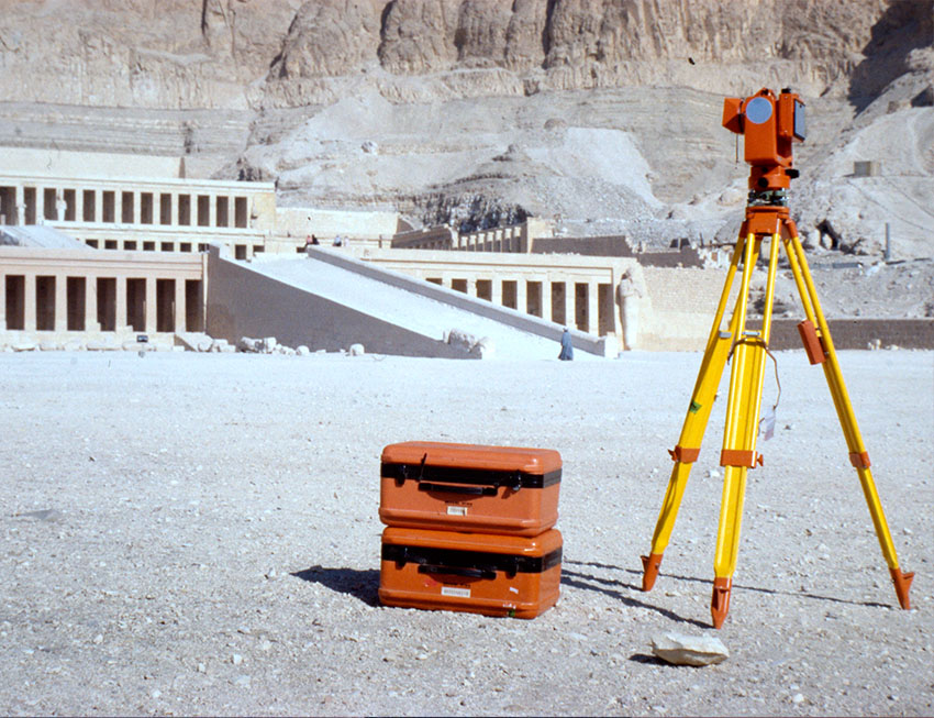
Our company, Erda Ltd. was founded in February 2000. Our legal predecessor Erda Bt. was established in 1992 and was dissolved with the registration of the Ltd. Our activities include the development of geographic information services. In addition to our main activities, we also offer map digitization, architectural façade surveys, archaeological documentation, IT consulting and other software development work.

For more than two decades we have been developing modular geospatial solutions. Our clientele ranges from UNESCO to national municipalities and utility companies, for whom we have developed appropriate and cost-effective solutions.

Why choose us?

Our aim is to provide our customers with the most efficient system possible at the lowest possible cost. We work hard to earn and keep the trust of our partners day after day.

We have condensed two decades of experience into our ErdaGIS geospatial framework, a modular modular design, targeting a wide range of users, and built on the principle of "You pay for what you use". for what you use. The system can be used for various geospatial tasks, even by the user. can be adapted as required by the user. This ensures that both for-profit and not-for-profit companies can flexible usability.
Reviews

The Debrecen Militárium would not have been possible without the professionalism and commitment of Erda Kft. and commitment. The unprecedented and expandable repository of Hungarian war memorials is thanks to them. Congratulations for your professional, fast and authentic work! And thank you for your dedication!

Sándor Csákvári

"Forgotten Memory" Research Director of the War Memorial Research Group image

In the last few years, since we have been using this Geographic Information System, we have been very very satisfied. We have had many people tell us how good it is for our municipality to have such a well We can only congratulate you on this system. Just keep it up!

Dávid Kőmíves

Deputy Mayor of the Municipality of Terény terény

I have been working with the ERDA team on various developments for a good decade, first on a census a scientific database based on the census (DTTTA1870), then on various projects of wider interest (e.g. Debrecen Militárium, Cívis GIStory). Besides their obvious professional strengths - creativity, flexibility, continuous innovation - the human side also deserves recognition: it is a language that offers understanding and solutions for a humanist. For me, these are the reasons they are competitive.

Dr. János Mazsu

Historian (University of Debrecen), President (Debrecen Treasury, Őrváros Public Foundation) logo

I have watched it and congratulate you. Well done, and what is not always true these days, that everything works well as described in the help. But even without it, everything can be figured out, because it is logical and and self-explanatory.

Tibor Borbás

Technical Director of GEODÉZIA Surveying Services Ltd. logo

The simplest and most secure way to manage geospatial data and serve users is the search and service system. It also has the potential for further development spatial information organised for parcels as opposed to map databases organised for streets, because in this case the measurement of property value is clear, transparent and illustrative, the local Its introduction into local economic development will take time, but could lead to a more transparent supply system.

István Gábor

Chief Architect of Debrecen image