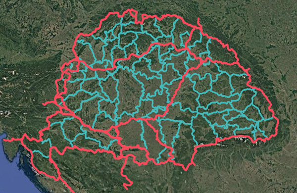
LOD13 Geospatial Encoding Tool
We’ve developed an internal geospatial utility tool for encoding and decoding LOD13 geographic
locations directly from AGN file names.The application allows:
Converting latitude/longitude into a structured AGN filename. Decoding AGN filenames back to geographic coordinates. Interactive map-based coordinate
selection.
The goal was to create a clean, production-ready interface that bridges file-based geospatial indexing
and visual spatial validation in one place.
A small but powerful addition to our geospatial workflow.