The ErdaGIS geographic information system
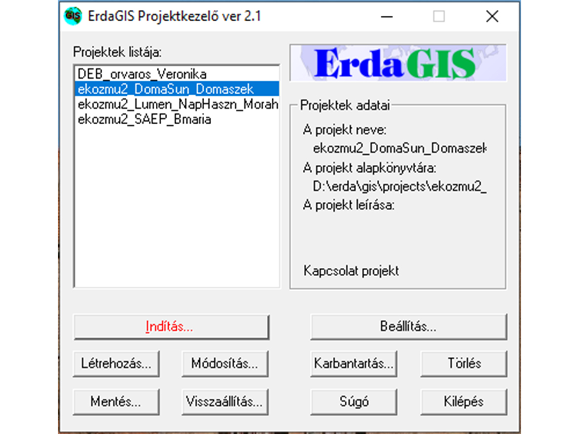
ErdaGIS is a modular geographic information system. It runs on PC hardware, Windows operating system, and uses Bentley software engine with MS Acces database manager. For different geospatial tasks - can be adapted as required, even by the user. It is designed for three basic tasks the system. These are the geodetic, the DAT editor and the utility modules, which are added to the basic system can be connected to the basic system and ordered as required.
ErdaGIS is able to work successfully with applications developed by other companies that covering a particular segment of IT.