Map Digitalisation
We undertake high-resolution scanning, georeferencing and digital processing of original map sections from contemporary maps back to historical maps.
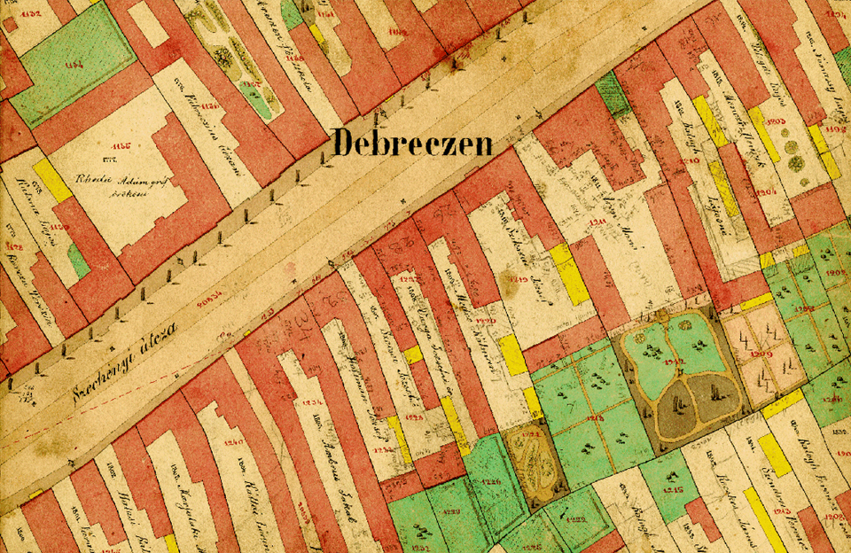
The digitisation of analogue paper maps involves scanning a detailed and geometrically accurate map and transforming the resulting digital image into a map projection, removing distortion. The digital file is then in raster format. It is then possible to vectorise the map, which means overlaying map points, lines and polygons. This workflow allows the map to be well structured, allowing for more versatile use. By adding a descriptive database to each drawing element, the map can be made intelligent.