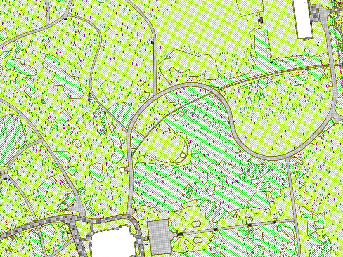
Green space cadastre
We create a spatial information system on green areas, parks, arboretums, the arboretums, arboretums and park elements. The size, species composition, health and quality of the green space condition, maintenance work done and to be done. An expert opinion is drawn up for each tree, with photos and management recommendations. These data and documents are entered into a database from which can be consulted and expanded at any time We draw up a diagram of the above-ground and below-ground utility lines, their relationship to the park elements to the park elements. Land registers can be used to enumerate green space elements, utility registers, existing natural data, property registers, orthophotos and new surveys. A system can also be used for planning and detailed sectoral registration due to its digital map content is also suitable for detailed sectoral surveys.