HU | EN

ZEMP in Angkor

The effective protection of monuments inscribed on the World Heritage List is a subtle problem worldwide. These structures represent the integral part, as well, of the social-economical environment of the mankind living today. Therefore the protection and management generate a number of issues being connected a very complex way with each other in the area of archaeology, architecture, hydrology, business activities, tourism, region development and the law.

This recognition made the group of 25 experts in 1992-93 to elaborate the 'Zoning and Environmental Management Plan' (ZEMP) for UNESCO, and to apply it on the archaeological sites in Angkor, Cambodia. As the matter of fact, this study containing the research achievements of numerous professional fields, was a well-applicable methodology of data acquisition, analysing and proposed solutions regarding to the particular archaeological sites. The new approach of the subject required new tools to be involved. The handling and analysing of the huge quantities of data no longer was possible with traditional manner. And, this was the point where the help of a computer had to be taken together with the dynamically developing new branch of informatics, the GIS - geographical information system.

ZEMP for Angkor was concentrating to determine the sustainable level of press to the archaeological sites coming from the tourism, everyday social activities and environmental impacts and to propose legal framework and administration in order to manage and protect the area in good repair, in the future. Supporting this, a comprehensive GIS solution based on the most up-to-date techniques, was completed to assist the work of data collection in every field, data update, analysing and reporting.

Experiences show, that the two major difficulties of archaeological research nowadays are the lack of standardised methodology and the incompatibility between the existing archaeological databases. Fortunately, the ZEMP can give a positive answer for both of them. Therefore, on the areas where authorities have to face up with the same complexity of problems than their Cambodian counterparts have, at least a thorough consideration for the introduction of ZEMP's guidelines is highly recommended.

Ironically, the two greatest danger sources for the world-famous archaeological sites are the flood of aggressive tourism and the local population earning its own living from the existence of the monuments. Regrettably enough, the attitudes are not against to the everyday human behaviour but by no means acceptable as normal.

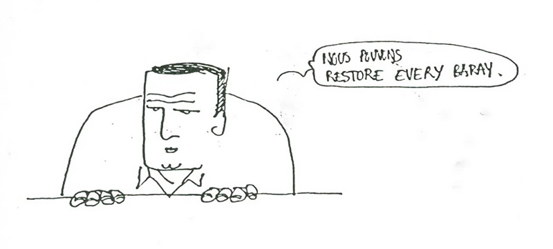
Caricature of Christophe Pottier from Meriwether Wilson park planner

Caricature of Christophe Pottier (conservation architect) from Meriwether Wilson park planner

Allowing the spontaneity in the direction of ecological and economic courses would surely cause a negative feedback to the archaeological heritage. There is no place for the free market policies here, but a careless interference can easily make the situation even worse. Therefore the need of regulation is more than obvious. As a result of thorough environmental impact assessment studies, with the tools of careful legislation, a legal framework and authority institutes should be set up to ensure the sustainable level of pressure for the monuments, deriving from the effects of natural and artificial environment.

The principle of this new and complex approach is that no archaeological remains can be pulled out from its surroundings but the disadvantageous impacts on them can be diminished or the reasons can be ceased.

At first, a multiple disciplinary elaboration of the existing environment should survey the initial stage in order to demarcate the area, to collect all the data which has importance for further treatment and to organize all the information that could be used for later work. The second step is a thorough analysis of the data with respect to the possible relations. This activity helps to recognize the connections between the existing environmental factors, to focus on the main threats and to determine the order of urgency of actions to be done. The next step aims to provide a system of recommendations about the protection of the cultural heritage, the necessary transformation of ecological conditions, the financial aspects, the sustainable level of tourism and business activities and so on. The proposals for implementation of legal and organizational background constitute a very important part of this phase to achieve the final goal, working out an environmental management plan. Finally the facts and recommendations are summarized in a report which can become the theoretical and practical manual for the local authorities to introduce the guidelines in the practice.

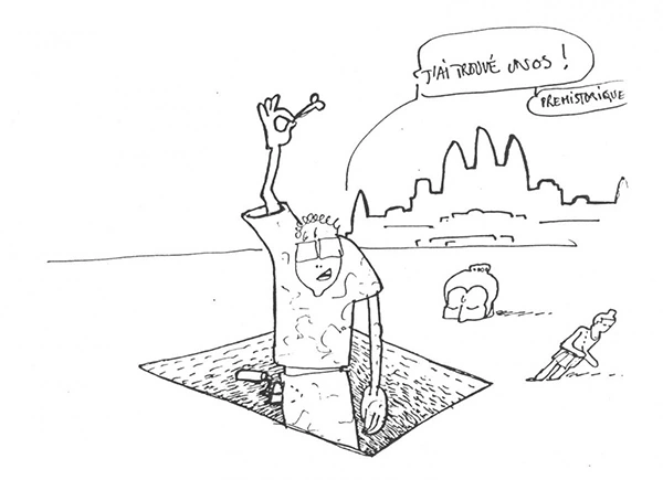
Caricature of Christophe Pottier (conservation architect) from Peter Aderhold tourism economist

Caricature of Christophe Pottier (conservation architect) from Peter Aderhold tourism economist

To maximize the efficiency of data acquisition and to create the standardized interface for analysing data coming from a number of different professional fields, the application of GIS is highly suggested.

The methodology, called ZEMP - Zoning and Environmental Management Plan, was first applied to the Angkor World Heritage Site, in Cambodia. The experiences show that extended areas with outstanding archaeological values can be managed very efficiently this way.

Caricature of Christophe Pottier (conservation architect) from Ferenc Garami hydrologist

Caricature of Christophe Pottier (conservation architect) from Ferenc Garami hydrologist

Anybody can ask why we are speaking about this subject so much. After all, the main target is the same, to protect the archaeological heritages somehow, shall it be called as ZEMP or whatsoever. Yes, but it is partly true only.

The traditional view of archaeological heritage management is satisfied, in a number of cases, with the general prescriptions of a nation-wide archaeological act. Even in archaeological site inventories very short sections are devoted to the environmental impacts. The whole professional view concentrates to the scientifical values of archaeology only and the issue of protection of heritage sites is regarded to be arranged with the conservation activities. It does not too much worry with the changing destructive environmental effects, either.

Caricature of Christophe Pottier (conservation architect) from János Jelen

Caricature of Christophe Pottier (conservation architect) from János Jelen

ZEMP is quite different. It takes its principle from the fact that a monument lives with its surroundings in a close socio-ecological connection. The less harmful impacts can reach the protected site, the more efficient the protection itself. Therefore the area is analysed in its entire complexity and the allowed and restricted activities are specified on the basis of zoning around the protected site. Moreover, a legal framework and local authority control is intended to be ensured giving the opportunity for the day-to-day monitoring, updating and interfering if necessary. This complex approach of problem management and resolution makes ZEMP so exciting.


The scanned and text-recognized document of this project is readable below.

The maps referred to in the text are available at the above link.

ZEMP DISCUSSION DRAFT

Caricature of Christophe Pottier (conservation
                architect) from Gyorgy Csaki

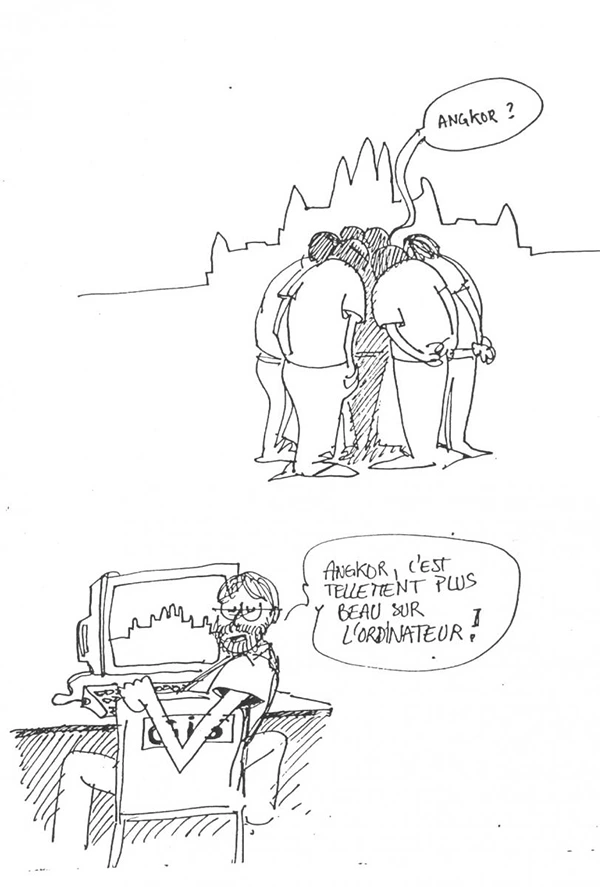
"Angkor looks much better on the screen!" Caricature of Christophe Pottier (conservation architect) from Gyorgy Csaki

You can see after 30 years reloaded system from sample drawings and database that were created through our work by clicking here: angkor-zemp.erda.hu

They are comparable with the current state displayed in Google Maps and OSM.